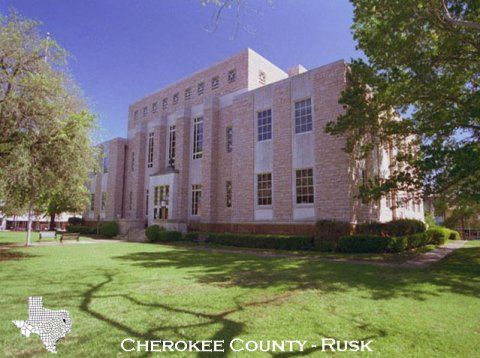
Cherokee County Courthouse
Cherokee County Texas is situated in the central portion of East Texas. It is bounded on the west by the Neches River and for 30 miles on the east by the Angelina River. It measures 50 miles north to south and 30 miles east to west. The County contains 1,061 square miles. Elevation ranges from 250 to 750 feet above sea level.
The climate of Cherokee County is usually humid and warm. The temperature average is about 65 degrees Fahrenheit and the average rainfall is 45 inches, occurring mainly in late winter and early spring. On April 11, 1846 law fixed the boundaries of Cherokee County when the Texas Legislature created the county.
Agriculture in Cherokee County has been and continues to be dynamic and significant. Agricultural income in 2010 was estimated to be 152 million dollars. The county has a diversified agriculture with 18% of the income coming from timber, 23% from beef, 37% from nursery crops, and 14% from hay.
HELPFUL LINKS AND INFORMATION
- Grant Resources
- Cherokee County Texas A&M AgriLife Extension Facebook Page
- Cherokee County Master Gardeners Facebook Page
- Cherokee County Stock Show & Expo Center
- Overton Research Center
- Texas A&M AgriLife Extension Service
- Texas Animal Health Commission
- Texas A&M Forest Service
- Texas Commission on Environmental Quality (TCEQ)
- Texas Department of Agriculture
